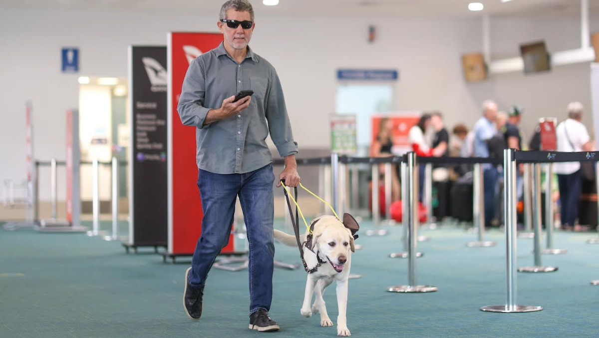
Sunshine Coast Airport has installed a new mapping technology to make it easier for blind and visually impaired people to navigate its terminals.
BindiMaps, which uses Bluetooth beacons and smartphone sensors to offer map-based, audio, or text directions in real-time, is part of Sunshine Coast’s push for accessibility. The airport is the first in Australia to install BindiMaps, which is being used in shopping centres and other public buildings.
SCA’s general manager operations, Kate McCreery-Carr, said the technology is a “game changer” for all airport passengers.
“While the technology can be used by anyone, the benefits it will provide to passengers and visitors who are blind or visually impaired will be significant, allowing them to precisely navigate our terminal with greater ease and accuracy from the moment they enter to the moment they leave,” McCreery-Carr said.
“One of the many benefits of BindiMaps is its adaptability, which is crucial as we grow and expand into the future. With BindiMaps, we can update maps, routes and other relevant passenger information ensuring that passengers have the most accurate information no matter the situation.
“Our goal is to make Sunshine Coast Airport the most accessible and inclusive in Australia, and we want to thank the wonderful team at BindiMaps for helping us start this journey.”
According to BindiMaps CEO and founder Anna Wright, the system has already seen success overseas at Budapest Airport, offering digital wayfinding services to more than 12 million annual passengers.
“BindiMaps will not only help passengers navigate to obvious places like boarding gates and security, it will also minimise the staffing burden of personalised assistance, manage congestion, and reduce late arrivals at the gates,” she said.
“It will also help improve passengers’ airport experience by helping them navigate to unique locations to grab their favourite snack, buy a neck pillow and ear plugs, or find a place to charge electronics.
“Our navigation algorithms and network of Bluetooth beacons and smartphone sensors offer a sophisticated navigating experience that is currently unrivalled. For instance, BindiMaps functions a bit like Google Maps, but with 10 to 20 times greater accuracy than the Google satellites and GPS, which can only pinpoint location to around 20 metres compared to 1 to 2 metres indoors for BindiMaps.”
- SEO Powered Content & PR Distribution. Get Amplified Today.
- PlatoData.Network Vertical Generative Ai. Empower Yourself. Access Here.
- PlatoAiStream. Web3 Intelligence. Knowledge Amplified. Access Here.
- PlatoESG. Carbon, CleanTech, Energy, Environment, Solar, Waste Management. Access Here.
- PlatoHealth. Biotech and Clinical Trials Intelligence. Access Here.
- Source: https://australianaviation.com.au/2023/10/sunshine-coast-airport-installs-new-accessible-navigation-tech/
- :has
- :is
- :not
- 1
- 10
- 12
- 20
- a
- accessibility
- accessible
- accuracy
- accurate
- airport
- algorithms
- All
- Allowing
- already
- also
- and
- anna
- annual
- anyone
- ARE
- around
- AS
- Assistance
- At
- audio
- Australia
- Australian
- BE
- being
- benefits
- BEST
- Bit
- blind
- bluetooth
- boarding
- Budapest
- burden
- but
- buy
- by
- CAN
- centres
- ceo
- CEO and Founder
- charge
- Coast
- compared
- congestion
- crucial
- Currently
- digital
- directions
- ease
- easier
- Electronics
- ensuring
- Enter
- Expand
- experience
- Find
- First
- For
- founder
- from
- functions
- future
- Gates
- General
- goal
- google maps
- gps
- grab
- greater
- Grow
- Have
- help
- helping
- HTTPS
- image
- improve
- in
- Inclusive
- information
- install
- instance
- into
- IT
- ITS
- journey
- jpg
- Late
- Leave
- like
- location
- locations
- make
- manage
- manager
- many
- mapping
- Maps
- Matter
- max-width
- million
- minimise
- moment
- more
- most
- Navigate
- navigating
- Navigation
- network
- New
- no
- obvious
- of
- offer
- offering
- only
- Operations
- or
- Other
- our
- overseas
- part
- People
- Personalised
- Place
- Places
- plato
- Plato Data Intelligence
- PlatoData
- precisely
- provide
- public
- Push
- real-time
- reduce
- relevant
- routes
- Said
- satellites
- security
- seen
- sensors
- Services
- she
- Shopping
- significant
- situation
- smartphone
- sophisticated
- staffing
- start
- success
- sunshine
- system
- team
- tech
- Technology
- Terminal
- text
- than
- thank
- that
- The
- The Future
- their
- Them
- they
- this
- times
- to
- unique
- Update
- us
- use
- used
- uses
- visitors
- visually
- want
- we
- which
- WHO
- will
- with
- wonderful
- Wright
- zephyrnet